Survey Accuracy & GCPs
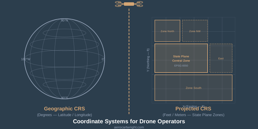
Coordinate Systems for Drone Operators: CRS Mistakes to Avoid
WGS84 vs NAD83, state plane, vertical datums — the CRS settings drone operators get wrong, and how to fix them in Metashape, Pix4D, and ODM.
Read more →


Tag Archive
1 article on WGS84. Field-tested methodology from a GIS scientist with M.S. GIS, FAA Part 107, and 10+ years of geospatial work.
WGS84 vs NAD83, state plane, vertical datums — the CRS settings drone operators get wrong, and how to fix them in Metashape, Pix4D, and ODM.
Free download: The Complete Drone Mapping Workflow Guide — 30+ pages of field-tested methodology.
Technical content only. Unsubscribe anytime.