
Emlid Reach RS2 and RS3 as a Base for DJI RTK Drones: The Setup That Works
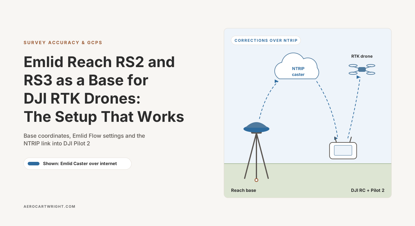
Set up an Emlid Reach base for DJI RTK drones: Emlid Caster and Local NTRIP config, base coordinates, fixed-vs-float troubleshooting, and how it compares with DJI's D-RTK 3.
Tag Archive
3 articles on drone surveying. Field-tested methodology from a GIS scientist with M.S. GIS, FAA Part 107, and 10+ years of geospatial work.
Set up an Emlid Reach base for DJI RTK drones: Emlid Caster and Local NTRIP config, base coordinates, fixed-vs-float troubleshooting, and how it compares with DJI's D-RTK 3.
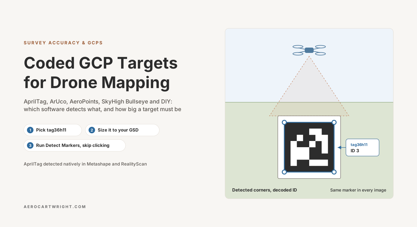
AprilTag GCP targets Metashape and RealityScan auto-detect, the Pix4D and AeroPoint targets Pix4D AutoGCP reads, ArUco vs commercial pads, and target sizing.
RTK alone produces 2–5 cm horizontal but 5–15 cm vertical bias. Why GCPs still matter, when checkpoint-only works, and the bowling/doming failure mode.
Free download: The Complete Drone Mapping Workflow Guide — 30+ pages of field-tested methodology.
Technical content only. Unsubscribe anytime.