

Photogrammetry
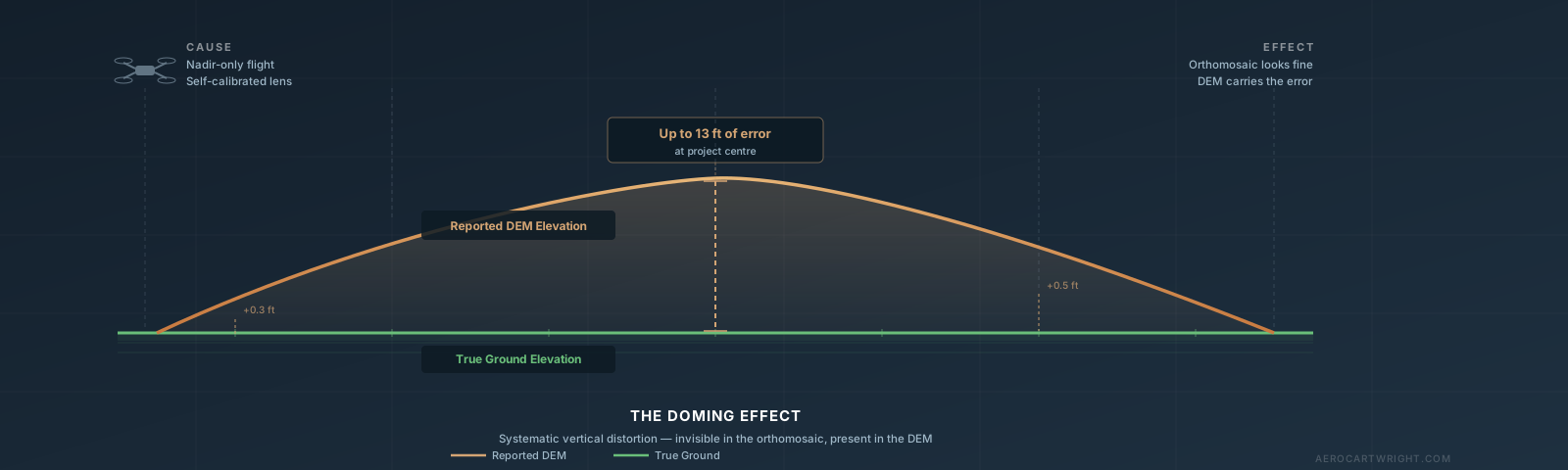
Why Your Drone Map Looks Warped: The Doming Effect Explained
The drone map doming effect causes systematic elevation errors up to several feet — and the orthomosaic looks fine. Here's how to detect, fix, and prevent it.
Read more →