Checkpoints vs Control Points in Drone Survey Accuracy
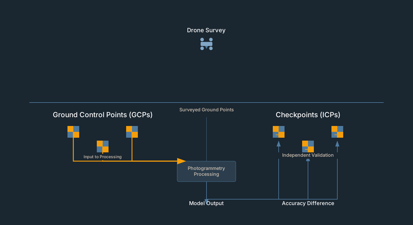
GCP residuals measure fit, not accuracy. Drone survey checkpoints provide independent validation. How to set them up in Pix4D, Metashape, WebODM.
Tag Archive
4 articles on checkpoints. Field-tested methodology from a GIS scientist with M.S. GIS, FAA Part 107, and 10+ years of geospatial work.
GCP residuals measure fit, not accuracy. Drone survey checkpoints provide independent validation. How to set them up in Pix4D, Metashape, WebODM.
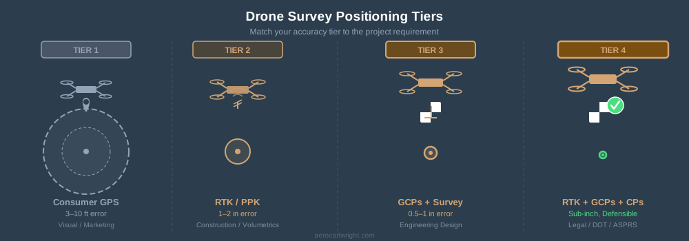
Four positioning tiers for drone surveys: GPS, RTK/PPK, GCPs, and full RTK+GCPs+checkpoints. Match accuracy to the job — not every project needs the top tier.
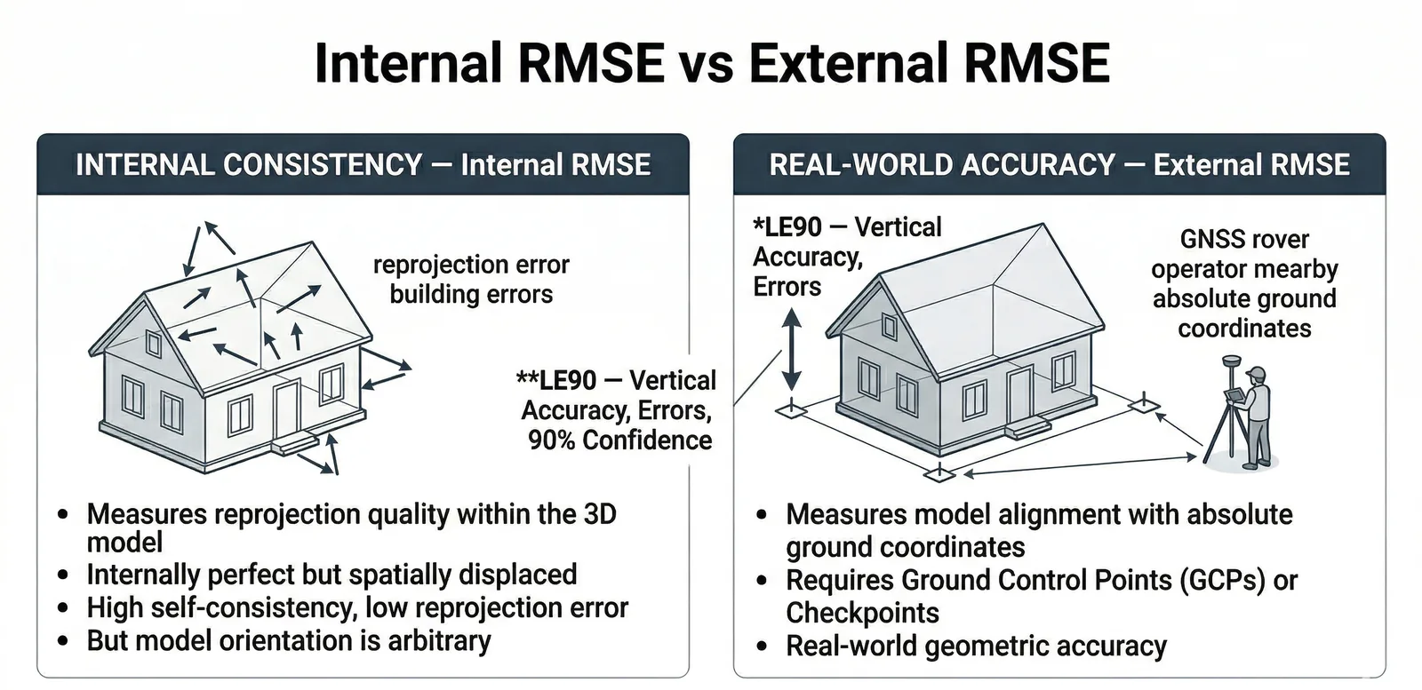
Real drone survey accuracy in 2026: ±2–5 cm horizontal, ±3–12 cm vertical typical. RMSE vs CE90 vs LE90 explained, ASPRS classes, 5 red flags in any quality report.
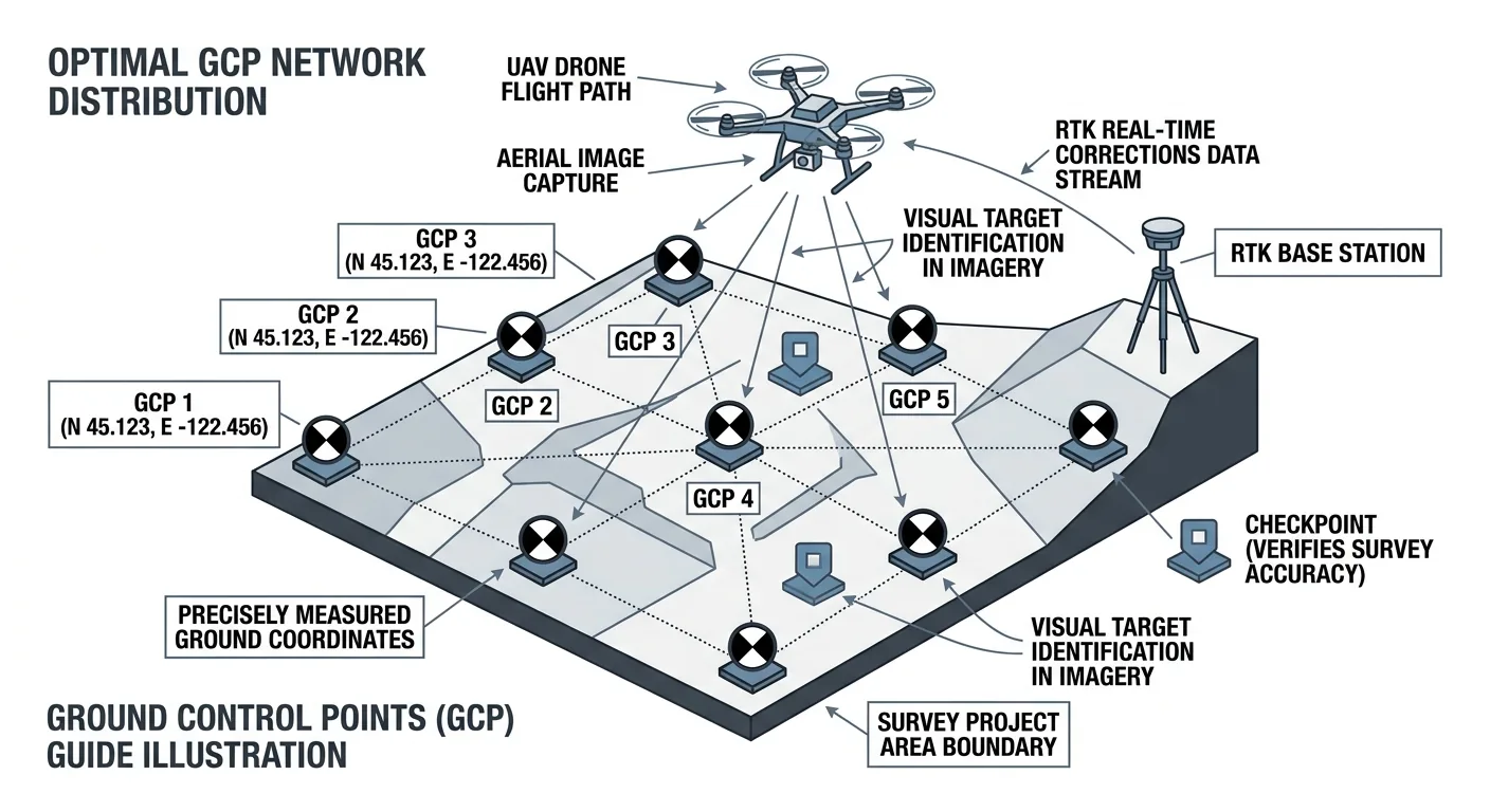
How many ground control points does a drone survey need? 5 GCPs for under 5 acres, 8–12 for 50–500. Distribution beats density — and always include independent checkpoints.
Free download: The Complete Drone Mapping Workflow Guide — 30+ pages of field-tested methodology.
Technical content only. Unsubscribe anytime.